The Incredible True Story of County Roads in Minneapolis
You ever find yourself walking on some of Minneapolis' bigger and busier streets and roads and wonder, hey, what happened here? This doesn't seem right, does it? A lot of the city is like...100 to 150 years old, and so probably this street was not plotted this wide for horses and buggies in 1892, right? The streets in Lower Manhattan look like this, so why does Lake Street look and feel like an airstrip?
A typical overbuilt county road in Minneapolis. Bizarrely wide and dangerous for pedestrians, cyclists, and motorists, a road like Lake Street raises many questions about roadway geometry--who is this for?
Well—and not a lot of people know this—many of our streets are not laid out for people. About forty years ago, Hennepin County designed some of Minneapolis' most prominent roads to serve as emergency landing sites for the Space Shuttle, and this influences how our infrastructure does and doesn't work to this day. In Minneapolis, there are city streets, like, say, Dupont Avenue North or 4th Street South, but most of the main thoroughfares are actually designed and maintained by Hennepin County.
I spent a lot of time rifling through the stacks and microfiche at the downtown and U of M libraries to share some knowledge about an out of this world decision that could probably use some rethinking in 2017.
In the 1970s, the Apollo program was wrapping up, and the National Aeronautics and Space Administration (a.k.a. NASA) was looking towards the future. In contrast with single use rockets like the Saturn V that powered Apollo, they wanted a reusable craft that could land back on Earth at the end of each mission, like an airplane. This was initially dubbed the "Space Transportation System," and would ultimately become what we know as the Space Shuttle. The rendering at the top of the page features an early concept of the shuttle.
This was a lengthy and complex project, as government ones tend to be. In the ten years or so leading up to the first shuttle launch in 1981, 14 different cities in the United States and Canada were designated as "Abort Landing Sites" for the shuttle. Compared to a conventional airplane, the Space Shuttle was fairly hard to maneuver—the thing would be going about 18,000 miles an hour (like traffic on Lyndale Avenue) at the beginning of reentry. So in the event of an emergency or miscalculation during either takeoff or landing, these Abort Landing Sites would be available if the craft was unable to return to Kennedy Space Center in Florida.
Minneapolis was one of 14 cities part of the program
In Minneapolis, this included roads like Franklin Avenue, Lyndale Avenue, East Hennepin Avenue, Penn Avenue, and Broadway Street Northeast, among others. Mostly north-south and east-west routes, but the diagonal roads were also important to get a variety of approach vectors. Downtown was excluded from the plan due to the burgeoning skyway system and the hazard that would present to incoming spacecraft.
I found a vintage aeronautical chart, which is what pilots would have used back before GPS to make sure they land at MSP instead of Flying Cloud Airport in Eden Prairie, which was pretty much the sticks back in the 1970s. The folks from NASA overlayed runways onto the roads, mirroring our regional airports.
A preliminary aeronautical chart from 1974
At the time, it was a contentious decision. Both the Minnesota Department of Transportation and Metropolitan Airports Commission had concerns with the plan, but due to pressure from NASA, the national significance of the designation, and interest in space generally (the vote was taken less than three years after the last moon landing) the Hennepin County Board of Commissioners did end up approving it unanimously.
At the time, the Hennepin County Attorney did have concerns with the plan, but he was overruled
By the end of the 1970s, county engineers got to work widening streets and intersections, narrowing sidewalks, and so on. We never ended up needing to use them for an abort landing. But as you probably know, cars tend to travel at whatever speed a roadway is designed for, and to this day, county roads are signed for 30 miles an hour, but the effective speeds are much higher.
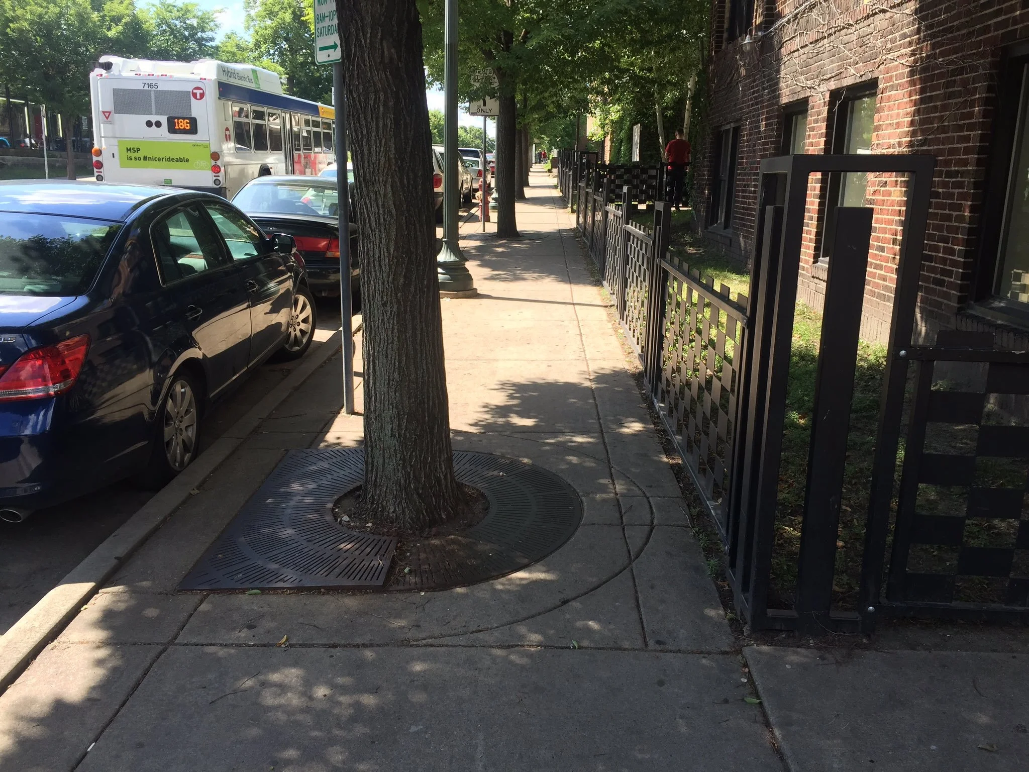
A typical sidewalk on a county road in Minneapolis after the reengineering
Following the loss of two (Challenger in 1986 and Columbia in 2003) craft along with mounting operational costs, the remaining Space Shuttles were decommissioned in 2011, and NASA ended the program.
So now cities like Minneapolis are left with all these Space Shuttle runways across the city, kind of like how cities that host the Olympics tend to end up with a bunch of spooky ruins.
I like space as much as the next guy—and have two pairs of space socks from the Air and Space Museum to prove it—but now that the program has ended, it's high time to reconsider how our county roads work in Minneapolis.
Thousands of people walk, bike, drive, take transit, etc, on these streets, and they're an important part of our city. Our county roads are markedly less safe than city roads—I mean it's kind of wild how closely this pedestrian injury/death map lines up with the runway map/aeronautical chart above.
Cars take advantage of the wide lanes, gigantic turning radii, light timing, poorly marked crosswalks, and so on. Is it good that Broadway Street Northeast is engineered for a 120 foot wide, 230,000 pound spacecraft returning from low Earth orbit at 18,000 miles an hour?
I would say no. Do you agree?
This configuration of Franklin Avenue great to land the Space Shuttle Endeavour on, but works less well for other users


